Tag: GIS
Advanced drone data collection enhances project quality
Recent advancements in geographic information system technology are streamlining workflows, minimizing risk, enhancing collaboration, and saving clients significant time and money throughout the construction...
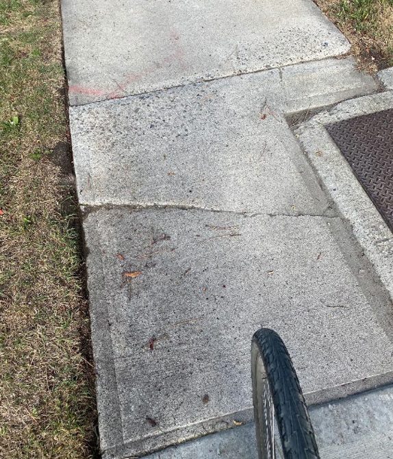
Cracking Up
GIS technology helps city streamline sidewalk
inspection process and reduce costs
By Rob Santos
Provincial legislation requires Canadian municipalities to have their sidewalks inspected annually, a...
HDR wins award for work on Ontario Line rapid transit project
HDR has received a Special Achievement in GIS Award by Esri for its effective enterprise implementation of geographic information system technology working with Metrolinx...
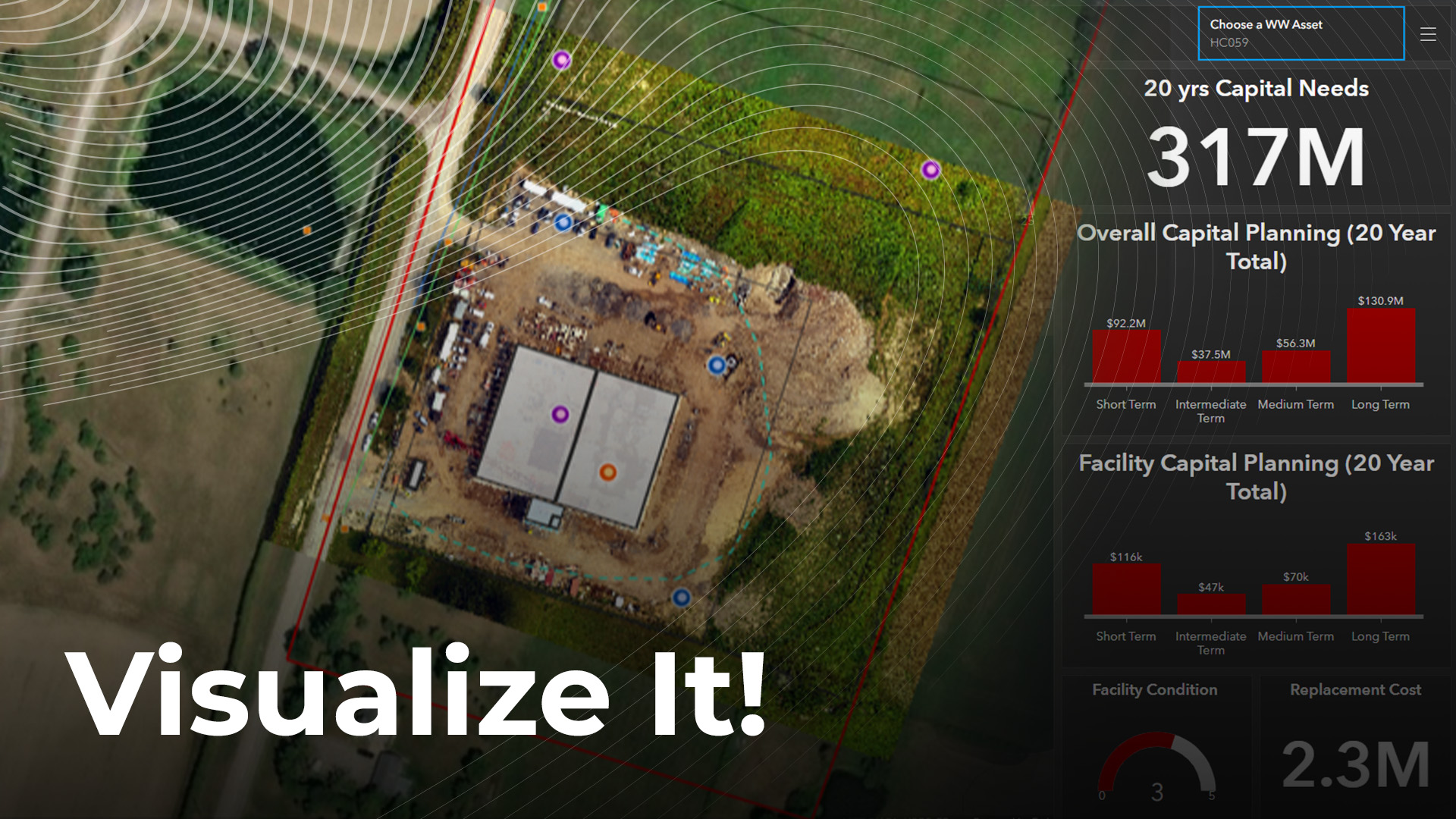
SPONSORED: Delivering data in an intuitive, visual way
Welcome to the world of GIS data visualization, where information is collected, combed, and displayed in one place for max collaboration and better decision-making.
The...
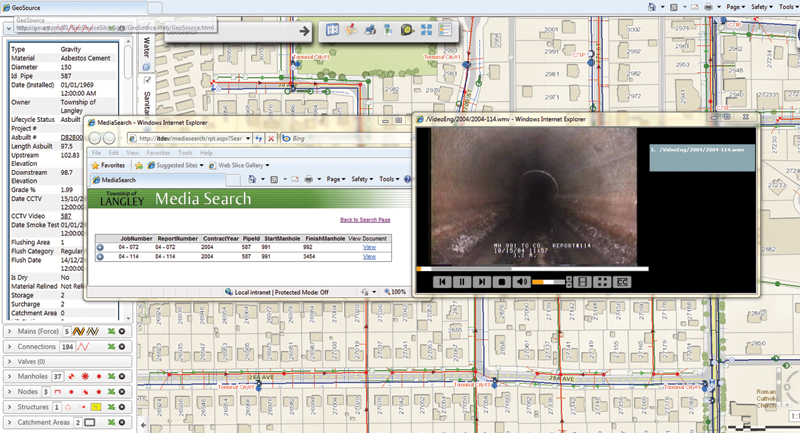
A Window into the Underground
Canadians are the world’s second largest per capita users of water, with an average household use of up to 329 litres per person, per...