
HDR has received a Special Achievement in GIS Award by Esri for its effective enterprise implementation of geographic information system technology working with Metrolinx on its Ontario Line project.
HDR was chosen from more than 100,000 customer organizations worldwide and honored for its work on the Ontario Line, a $10.9 billion rapid transit line with 15 proposed stations that will run nearly 5.6 kilometres through downtown Toronto, from Exhibition Place to the Ontario Science Centre. HDR serves as technical advisor on the project.
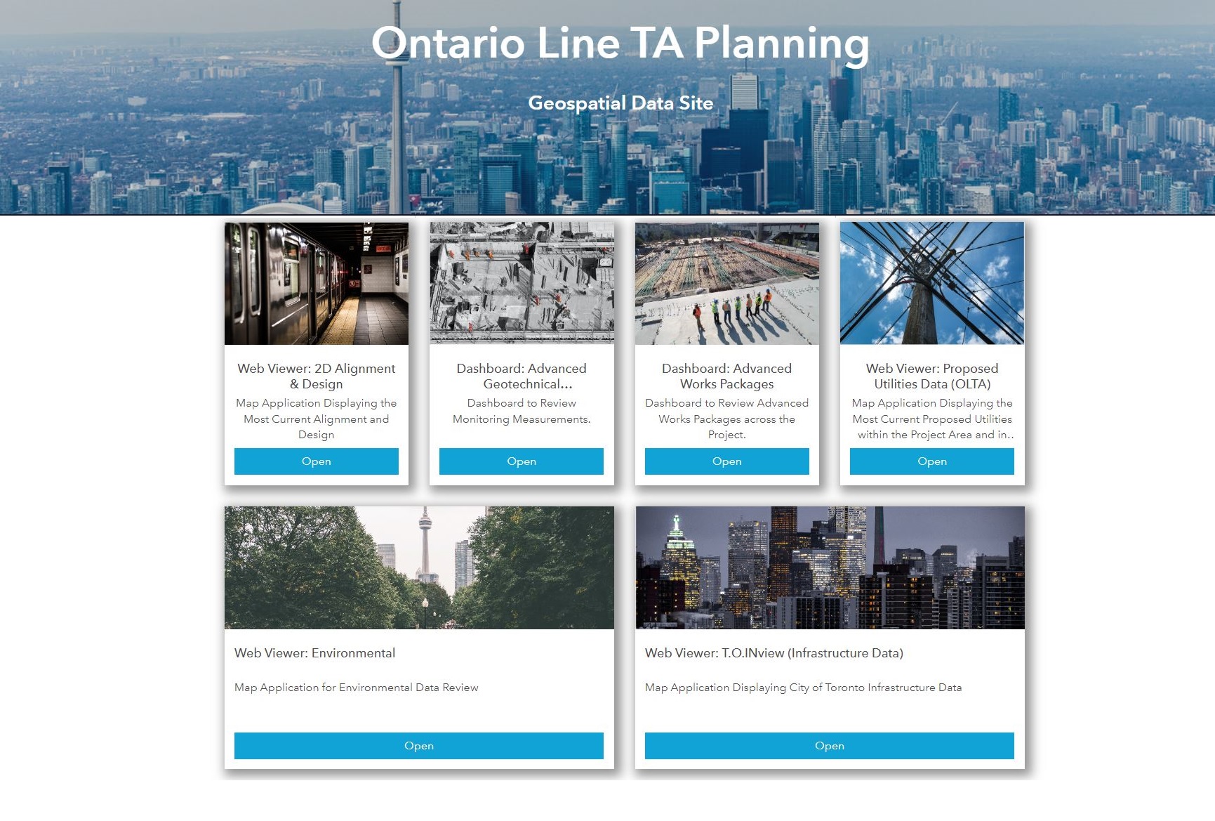
HDR developed a planning portal using Esri’s ArcGIS Hub cloud platform to assist the nearly 1,000 staff on the project team. The portal serves as an integral source for reviewing the latest 2D alignment, properties, utilities, environmental impacts and 3D station design. It combines GIS, CAD and BIM data in a dynamic environment and acts as the single source of truth for all consolidated 2D and 3D data.
The integration of GIS and BIM means that team members realize enhanced efficiencies, removing the need to duplicate information from one ecosystem to another.
“The portal has been an incredible tool for the entire team,” said Cameron Schaefer, P.E., HDR’s transportation data acquisition and reality mesh director. “Designers, project managers and client representatives, along with team members who don’t typically work in advanced design platforms, can access complex and incredibly large data sets through a single web link.”
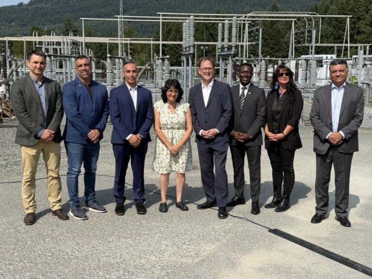
Featured image: (HDR)